Google Earth's AI Image Generator: A Misinformation Trap
Putting a text-to-image model on top of the most trusted map data in existence was never going to end well. Google Earth's short-lived "Nano Banana" feature let anyone type a prompt and generate satellite-style images of refugees near the Mexican border or a bomb crater next to a Gaza hospital. Digital Digging's Henk van Ess made both of them look alarmingly real — because they were rendered from actual satellite, aerial, and 3D imagery, just warped to fit your words.
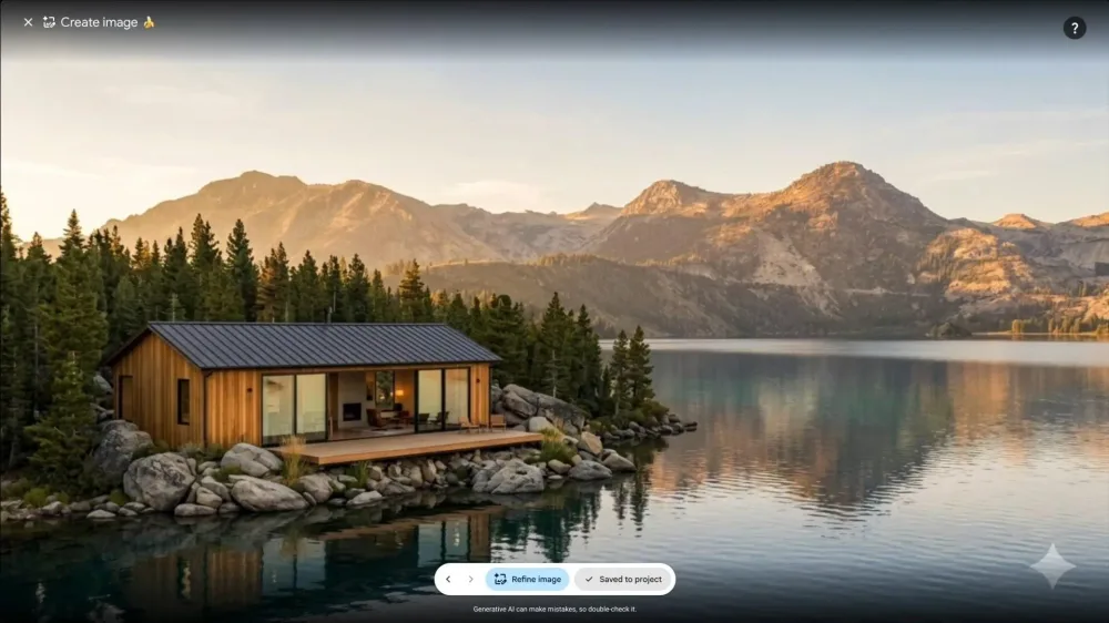
The Verge reports Google has now rolled the feature back entirely. But that rollback shouldn't close the conversation, because this wasn't just another AI art toy. It was a prototype for manufacturing fake evidence.
The problem is context, not image quality
Regular AI image generators produce fantastical cats or celebrity mashups, and nobody mistakes those for documentation. But when the input imagery is satellite photos of real places, the output carries an implicit authority. A picture of "a bomb crater near a hospital in Gaza" generated from real 3D terrain doesn't look like an illustration. It looks like reconnaissance. That's the real danger: the map becomes a credibility machine.
Google's initial response leaned on SynthID watermarking, claiming every image includes a digital stamp so people can check it with the Gemini app or Google Lens. Technically true, practically useless. Most people encounter these images on social media, stripped of metadata, screenshotted and cropped. The watermark might live in the pixels, but how many viewers will run a Lens search on a shocking image before sharing it? Almost none. Watermarks are an audit trail, not a prevention mechanism.
Why this matters for AI deployment
This is a failure of deployment, not just model alignment. The team behind this likely had a smooth internal AI workflow: prompt in, safety filters, add watermark, ship. But they forgot the real-world workflow, where a politically charged prompt becomes a social
Zooming in revealed so many errors in that image. Which verification tool are you guys using now?