Google Earth AI Deepfake Tool Shut Down After One Day
Google killed its new AI-powered satellite image editor less than 24 hours after launch, and honestly, the speed of that reversal tells you everything about how badly this could have gone.
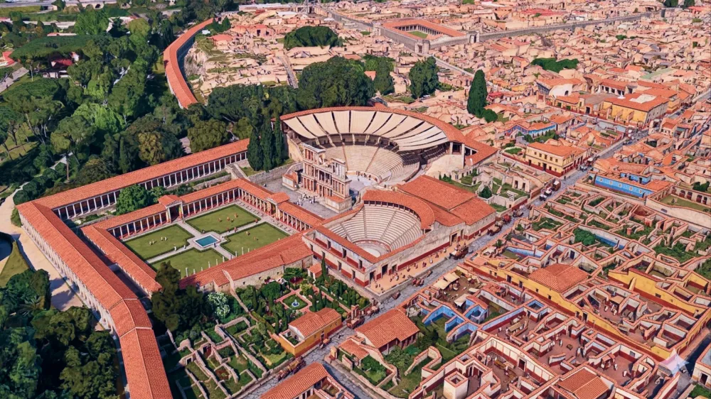
The feature, unveiled Thursday, let anyone type a text prompt and rewrite Google Earth's satellite imagery — not just stylize it, but literally insert objects, people, or destruction into real-world locations. Think of it as Photoshop's generative fill, but applied to the planet. The model behind it was Nano Banana 2, and Google initially pointed to watermarking and "harmful topic" filters as safeguards. That lasted about a day.
What forced the shutdown? Digital Digging's Henk van Ess intentionally stress-tested the tool and generated things like refugees clustered near the Mexican border and a bomb crater outside a hospital in Gaza. He was proving a point: the tool could create convincing deepfakes of real geography, and the safeguards weren't up to the job. Google's first response was to mention watermarks and content policies. Then they just pulled the whole thing.
This is a fascinating case study in AI deployment gone wrong. The underlying tech — letting users manipulate satellite imagery with natural language prompts — is genuinely interesting from a product standpoint. As a hands-on exercise in prompt engineering, you could see how someone might use it for urban planning mockups or hypothetical climate-change visualizations. But the real-world risk profile is completely different from a consumer camera app. Satellite images carry an implicit authority. People trust them as evidence. When you let someone generate a plausible-looking bomb crater in Gaza, you're not just making a meme; you're creating propaganda-grade material that could circulate for days before anyone verifies it.
Google's initial hedging — "we watermark it, we block harmful topics" — reads like classic corporate mitigation theater. Watermarks are easy to crop, and topic filters in generative models are notoriously gameable (anyone who's done serious jailbreak testing knows that). The fact that a single researcher demonstrated bypasses within hours shows the gap between safety claims and on-the-ground reality.
The bigger question, and the one nobody at Google seems to have asked before shipping: does the world need this capability at all? Not "can we build it," but "what does it enable that isn't already possible?" Satellite imagery manipulation has existed for years in GIS tools, but it required skill. Making it as easy as typing a sentence lowers the barrier to zero. That's the core problem with AI features like this — the tool itself isn't malicious, but the cost of abuse drops to the point where moderation can't keep pace.
I give Google credit for pulling it quickly instead of doubling down. But the entire episode is a reminder that "we have a watermark" is not a security strategy. If generative AI is going to touch authoritative data sources like maps and satellite feeds, the safety work needs to happen before the launch, not after the first viral example of misuse.
One day of existence. That's how long it took for someone to demonstrate exactly why a real-world deepfake tool shouldn't ship with just a filter and a prayer.
All Replies (3)
Terrifying for disaster maps. How do we stop AI from inventing fake damage during a crisis?
My street had a beach and a moat for an hour! Which weird glitches did you see before the shutdown?
Saw some weird buildings near my house before the shutdown. Did anyone else catch those glitches?