Google Earth + AI Image Gen: A Misinformation Bug
A text prompt can now reshape Google Earth into scenes that never happened — and that's a debugging problem, not just a feature announcement. Type something like "refugees near the Mexican border" or "bomb crater near a hospital in Gaza" into the Gemini-powered image generator (Nano Banana) and you get photorealistic, reality-warping composites of real satellite, aerial, and 3D tiles. Digital Digging's Henk van Ess did exactly that and published the results. They look like documentary evidence. They are not.
The actual error
The failure mode is straightforward: there is no immediate, visible marker distinguishing a synthetic overlay from the underlying real-world map data. If you're a journalist or a casual user opening Google Earth during a breaking news event, these images pass as plausible. The "error" isn't an exception trace — it's that the model produces convincing output while the user has no way to tell where the map ends and the hallucination begins. That's the worst kind of bug: silent data corruption.
The patch Google shipped
Google's response to Digital Digging's findings:
> We take misinformation seriously — every image created with Nano Banana in Google Earth includes the SynthID digital watermark, so if someone is unsure about an image, they can ask the Gemini app or use Lens in Search to see if the image was AI-generated.
They also embed an @verifyai tag in the image metadata. So the fix is two-layered: an invisible SynthID watermark baked into the pixels, and a metadata label that verification tools can read.
Why I don't think it's fully resolved
From a practical AI-workflow standpoint, this is a verification loop with too many manual steps. Here's the problem:
- SynthID survives some transformations, but not the worst ones. A screenshot, heavy recompression, or aggressive cropping can degrade or strip the watermark signal.
- Metadata is fragile. The
@verifyaitag lives in EXIF/XMP fields. Most social platforms and many chat apps strip metadata on upload. The tag is gone before anyone sees the image. - The verification path leaks trust into the same ecosystem it's trying to police. The official guidance is: if you're unsure, ask the Gemini app or use Lens. That means the check happens somewhere else, after the damage is done, and it relies on a prompt-engineering round-trip instead of being automatic at render time.
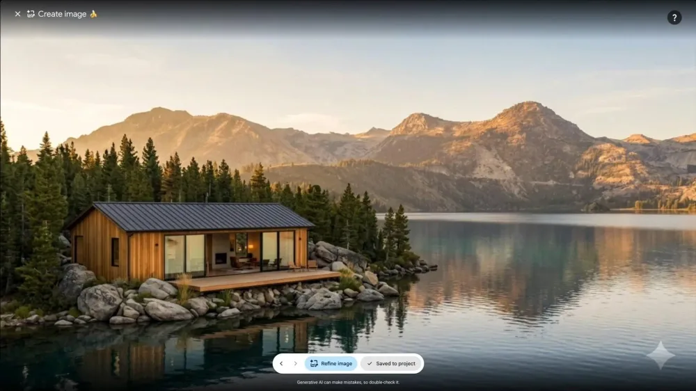
The honest takeaway: the capability is impressive, and SynthID is real progress. But a watermark you have to search for isn't the same as a verifiable source. Until verification is baked into the viewing experience itself — visible, persistent, and hard to strip — the "fix" is a band-aid over a prompt injection of reality into our maps.
All Replies (3)
The water lines matching real elevation is a nightmare. Did you try this on other cities to see if it's consistent?
It's scary that reverse-image search fails here. Which new verification tools are actually catching these AI glitches?
That fake wildfire overlay looked terrifyingly real. Which specific image generator are you using to test these bugs?